© Birgit Knöbel, Gemeinde Pobershau

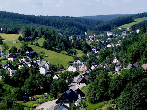
Through the Schwarzwassertal (Pobershau)

W skrócie

  • Start: Hikers' Parking lot "Hinterer Grund" (nature conservation station), 09496 Marienberg, Hinterer Grund
  • Cel: Hikers' Parking lot "Hinterer Grund"
  • średnia
  • 15,41 km
  • 4 h 38 min
  • 354 m
  • 707 m
  • 536 m

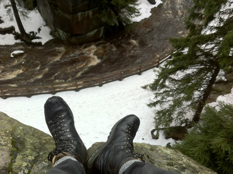
This circular walk leads into the "Schwarzwassertal" nature reserve with its impressive rock formations and to evidence of the mining history of Marienberg and its districts.

Markings: E3 white-blue-white, ridge trail, white-blue-white, EB white-red-white

2 variants:

A) At km 11,3 turn right via Arnoldweg to the finish (Tour A: 13,5 km).

B) At km 11,3 turn left via Weintraubenweg to the finish (Tour B: 13,2 km)

Plan trasy

Nawierzchnia trasy

  • Ulica (11%)
  • Żwir (42%)
  • Szlak wędrowny (20%)
  • Ścieżka (26%)

Pogoda

Najważniejsze informacje

Dalsze kroki