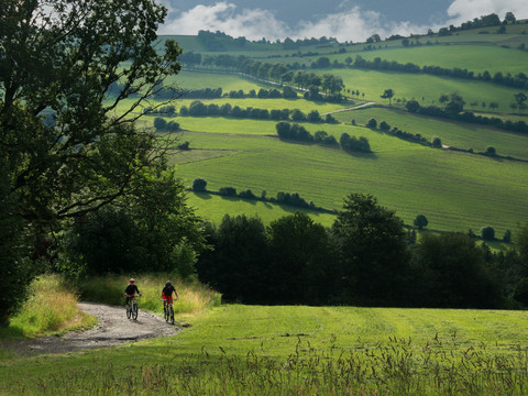
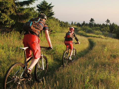
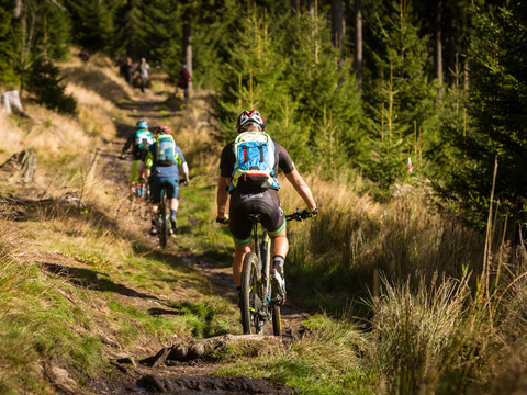
The unique mountain bike experience. Two countries, nine peaks, 4,400 meters in altitude are waiting for you: 162 +10 km of pure MTB emotion along the cultural, historical and geological highlights of the Ore Mountains. The 2023 anniversary season awaits you.
On forest roads, single trails and some main through-roads, the Stoneman Miriquidi leads you along the perfectly sign-posted trail over nine of the highest summits of the German and Czech Ore Mountains.
On each summit, a stamp point and an information board with map and a description of the next trail section is waiting for you. As starting point you can choose any lodging partner. The mountain bike trail is signposted in counter-clockwise direction.
Depending on fitness and time, the unique MTB track can be absolved in one, two, or three days (“Trophy”) or in four to six days (“Open”). With a starter pack you can also secure the hand-made Stoneman trophy designed by Roland and an entry in the official finisher list. And you actively contribute to the preservation of the track.
For all our sakes: Please observe the fair play rules at all times while biking.
Highlights of the Stoneman Miriquidi
- Cranzahl dam
- Summit loop and viewing tower on Bärenstein mountain
- Basalt pillars at Pöhlberg mountain and Scheibenberg mountain
- Root path to Scheibenberg mountain
- Trail Centre Rabenberg: Germany’s first single trail park – access with starter packs
- “Kleiner Kranichsee” (Little Crane Lake), one of the most important raised bogs in the Ore Mountains
- “Wolfs- und Eisbinge” (Wolf and Ice Pinge) at Blatenský vrch mountain
- Viewing platform on Plešivec mountain
- Ascent to Klínovec mountain demanding in terms of driving technique
- Fichtelberg mountain, the highest mountain in Saxony


