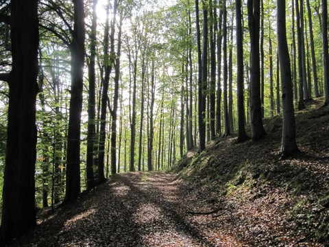
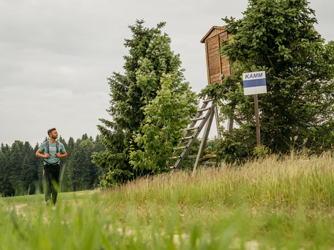
Alone on a wide open space - nature experiences included. Let's enjoy the solitude today. The ridge trail leads through the forest, past the large Steinbach stream, to Rübenau. Favoured by altitude and climate, the Rübenau mountain meadows are among the richest in species in the Ore Mountains. Staying close to the state border, you reach Kühnhaide. Actually, the place should rather be called KÜHL-haide, as it is one of the coldest inhabited places in Germany.
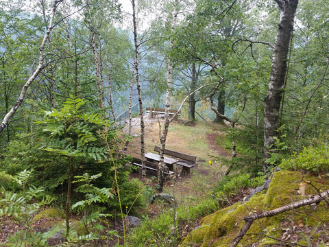
We leave the Saiger hut and pass the hut pond to Olbernhau-Pföbe. The difference in altitude to the valley floor now increases steadily until we reach the top of the Stößerfelsen. The Stößerfelsen owes its name to the peregrine falcon. In the vernacular, this bird of prey, which pokes its prey in flight, was called a pusher. The XXL bench at the viewing platform invites you to take a break. The trail leads through the evergreen spruce forest to the "Großer Steinbach". Here you can refresh yourself with the clear water of the stream. Uphill, downhill we come to the former Lochmühle mill and to Rübenau. The ridge trail does not lead directly into the village, but turns right up to the Hirschberg with a magnificent view over the largest scattered village in Saxony. The Lehmheider Teich is a beautiful spot, ideal for a rest. Downhill along the stream we reach the houses of Rübenau. Ascending, we come to the Kriegswald forest. Staying close to the state border, we hike towards the Schwarzwassertal valley. A hiking day completely in harmony with nature comes to an end. Milestones: Saigerhütte monument complex - Pföbe - Stösserfelsen viewpoint - Großer Steinbach - Neulsweg - Rübenau - Lehmheider Teich - Rübenau herbal nature trail - Grenzweg forest nature trail - Schwarzwassertal nature reserve hikers' car park.

