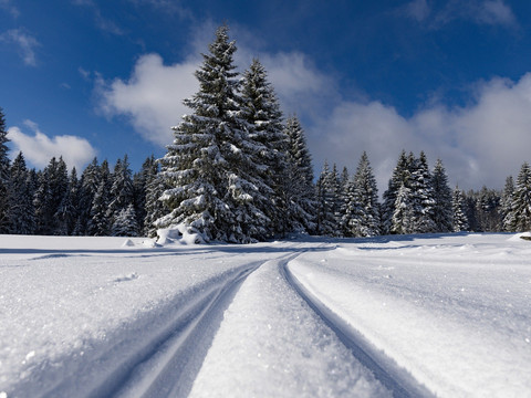
This ski hiking route connects Schellerhau and Bärenfels.
The ski hiking route starts/ends at the Rotterhang Schellerhau ski slope and leads past Spitzberg towards Bärenfels/Hubertusweg. Various forest paths and logging clearings are used; please follow the local signage on site.
Info:
A ski hiking route is one that is recognizable and passable as a path, clearly signposted, and marked on maps. Ski hiking routes are usually only groomed if the demand is very high and the operator has the possibility to do so. Visitors have no entitlement to grooming.


